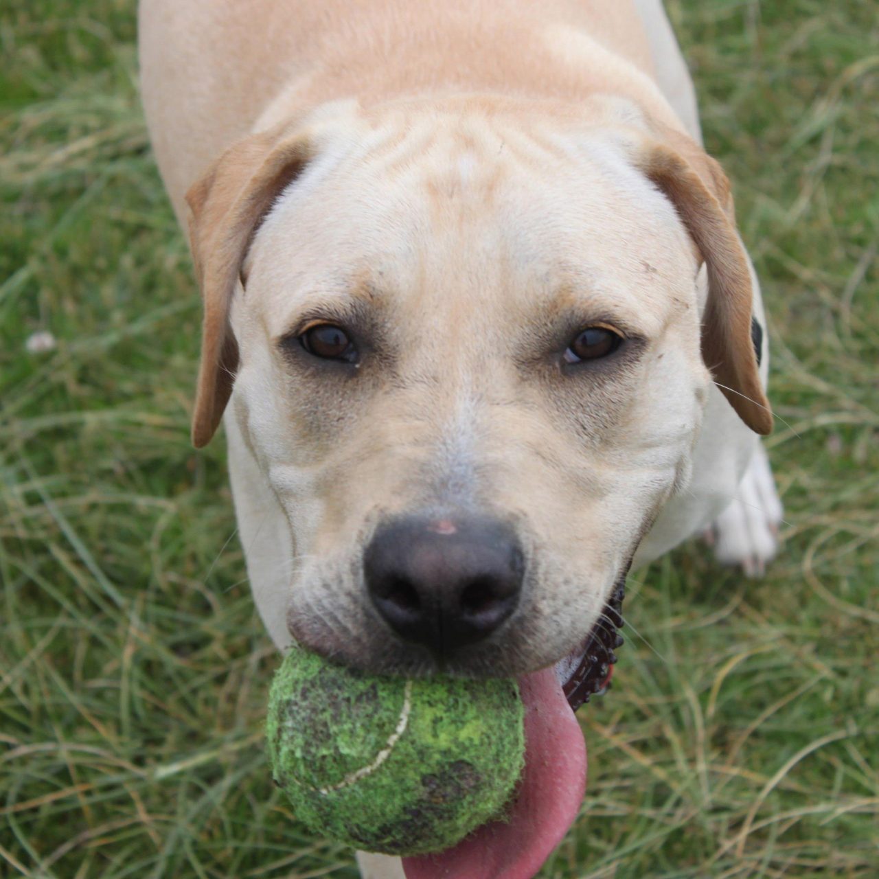
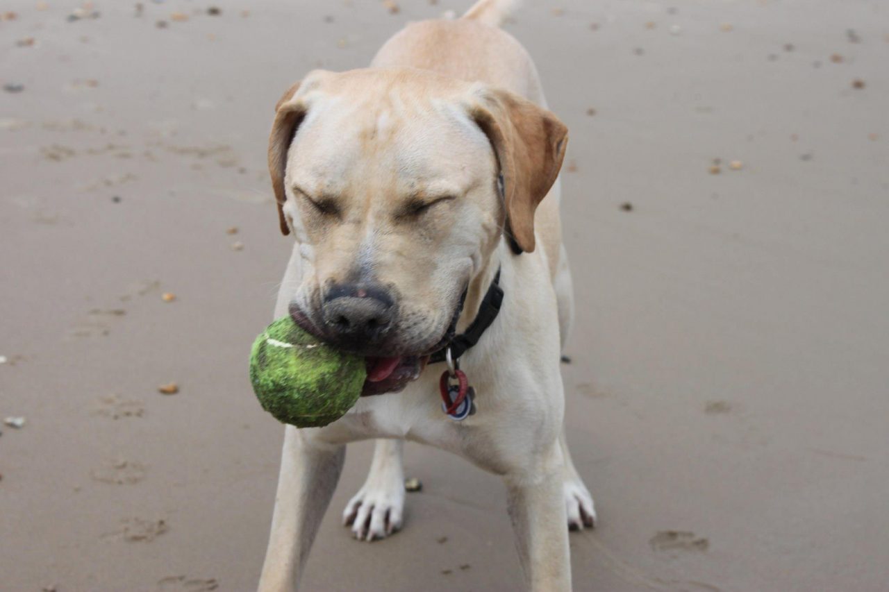
I fell in love with stunning Hengistbury Head, near Bournemouth (map) the first time I visited. Our family  had just acquired a static caravan on a site just outside Christchurch for the summer months of 2009 and upon waking up on my first morning there I set off in search of somewhere to give Hugo (these were pre-Hoover days) a good run. We drove towards the coast near Christchurch and I found myself at Mudeford, which whilst lovely, is small and neat….and Hugo and I needed somewhere more wild for a really good romp. As I stood on the seawall and looked across the entrance to Christchurch Harbour I saw a man strolling across the finger of sand opposite accompanied by his happy dog, who was enthusiastically investigating every smell possible. Not knowing the area I asked a fellow early bird what that spot was called and how I got there, and within a few minutes I was parking up at the end of Broadway in the generous car park at the base of Hengistbury Head. (Streetview)
Hengistbury Head is a headland that juts out into the English Channel between Bournemouth and Mudeford. It is of archeological importance and was declared a local nature reserve in 1990. It also makes up part of the Christchurch Harbour Site of Special Scientific Interest. Basically it is unspoilt and lovely.
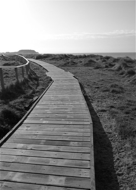
 Once you have ‘paid & displayed’ you have options as far as getting about is concerned: cars and motorbikes are not permitted past the main car park, so you can choose to walk, cycle or get the landtrain. However dear Reader, I am assuming you have a dog to walk, so head towards the sea and follow the obvious path up the headland. As you climb the view of the Dorset coast behind you becomes more impressive so take a moment to stop and look behind you. The climb only takes a matter of minutes and suddenly you are up on top of the world with Christchurch Harbour below you on your left, and the English Channel on your right. For those of you that are interested in such things there is a trig point at the top of the climb, which is shown on Ordnance Survey maps as being 36 metres above sea level.
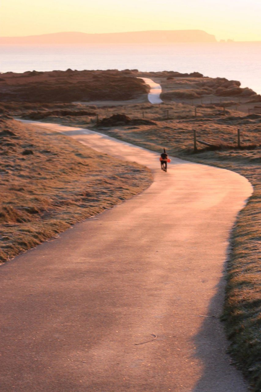
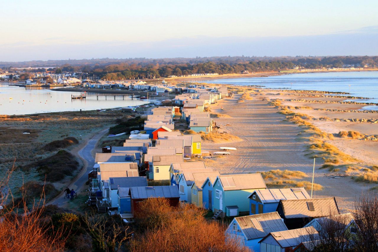
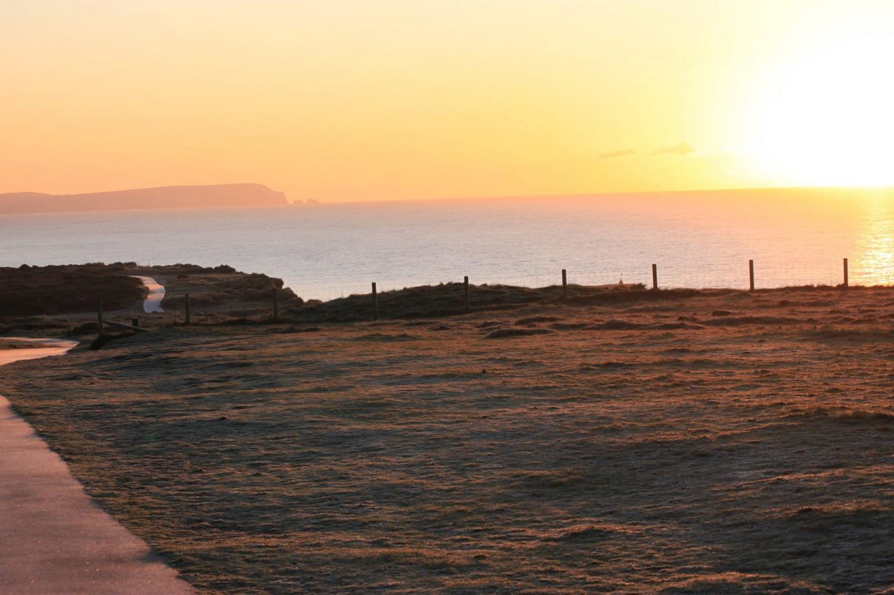
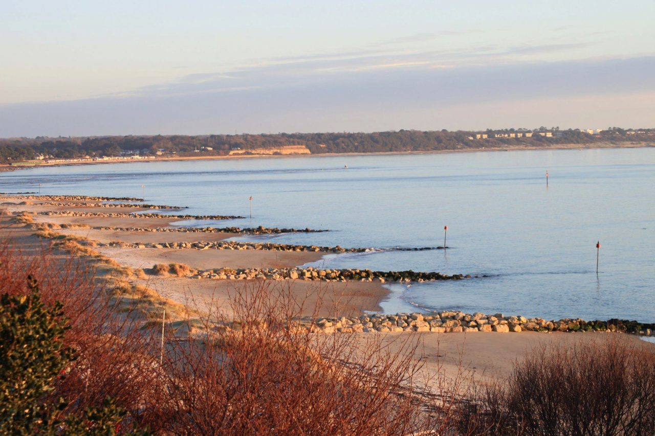
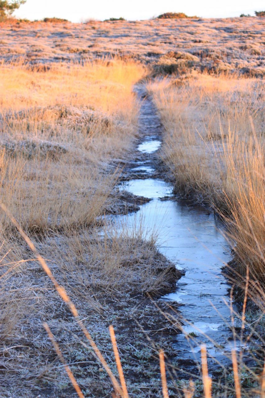
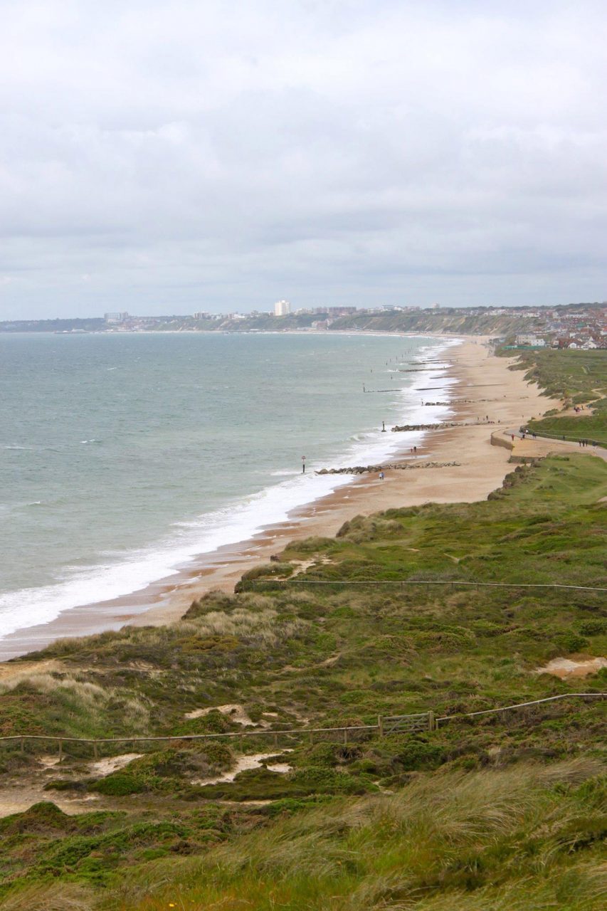
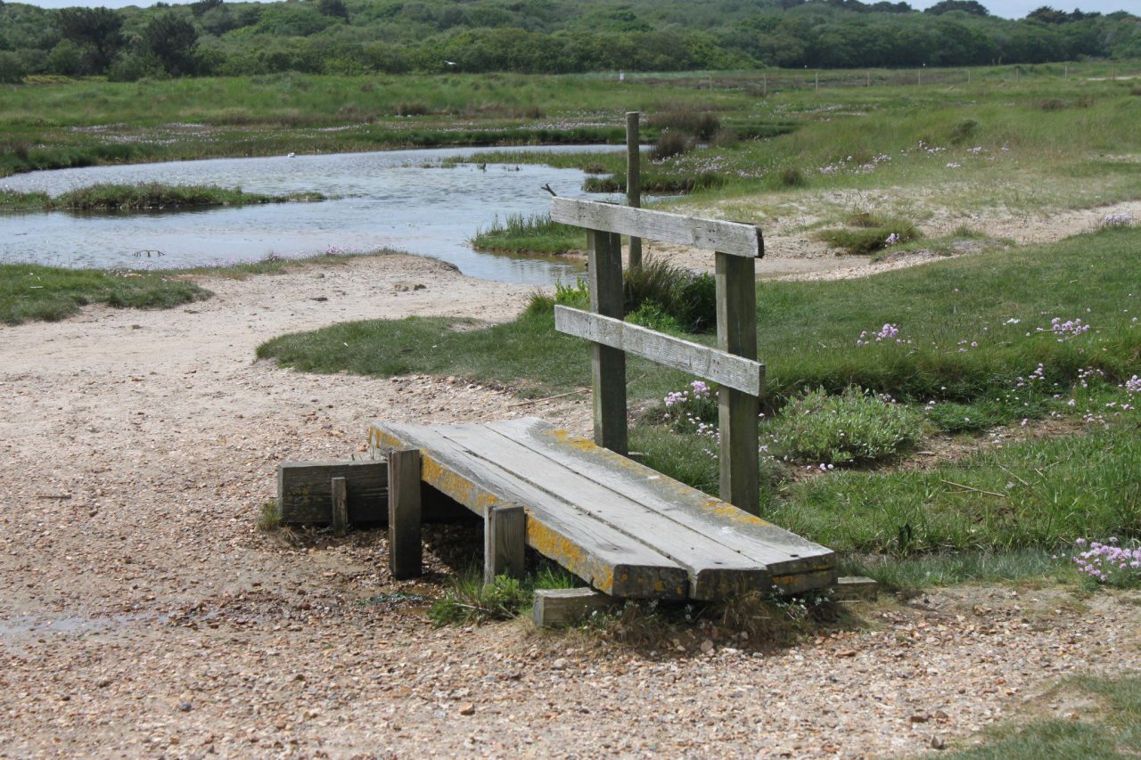
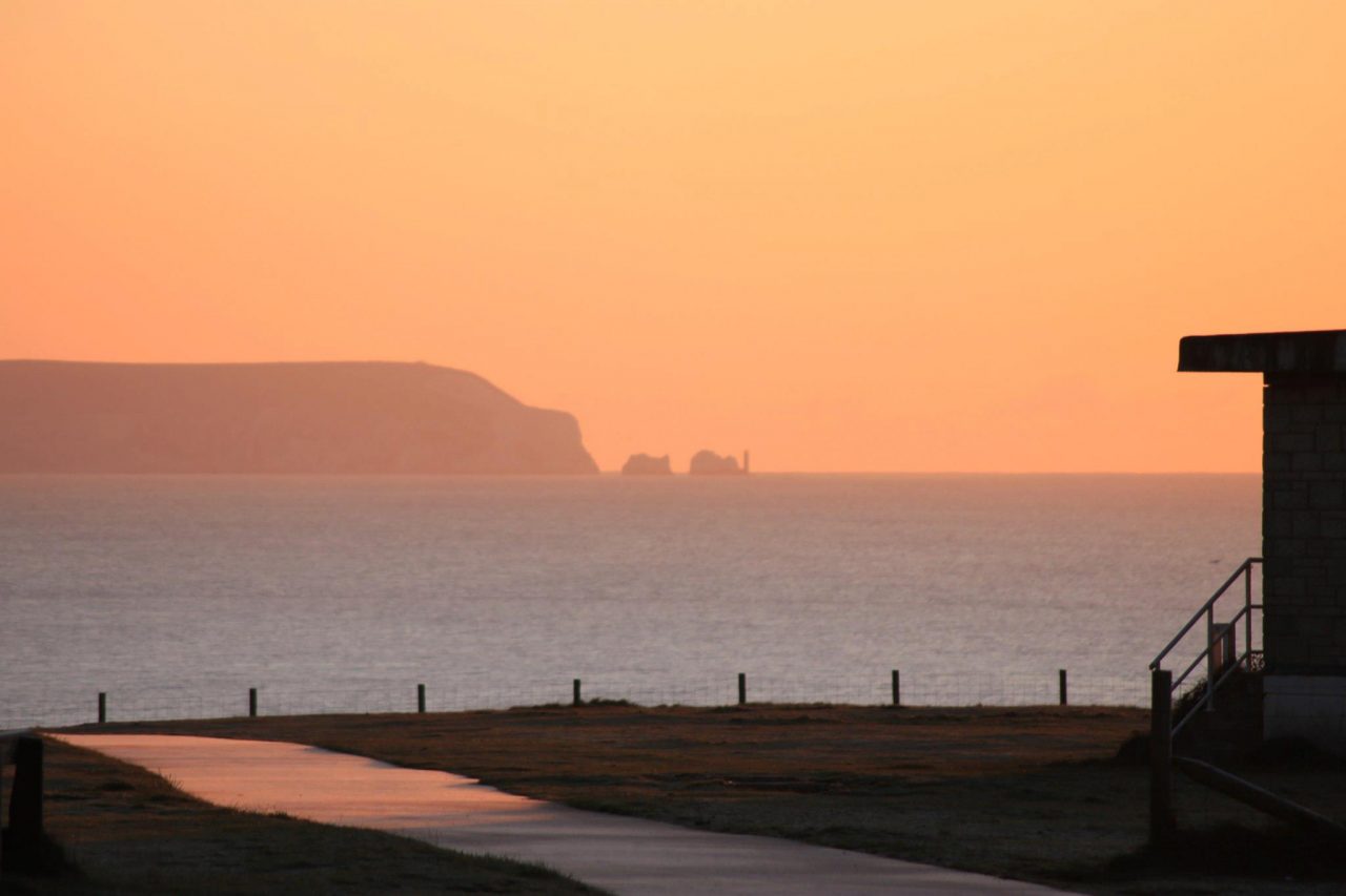
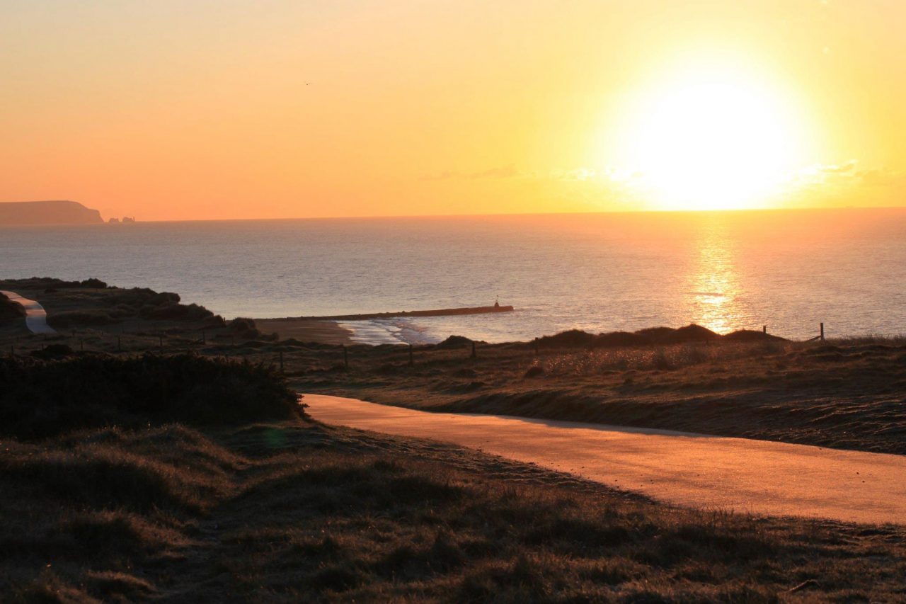
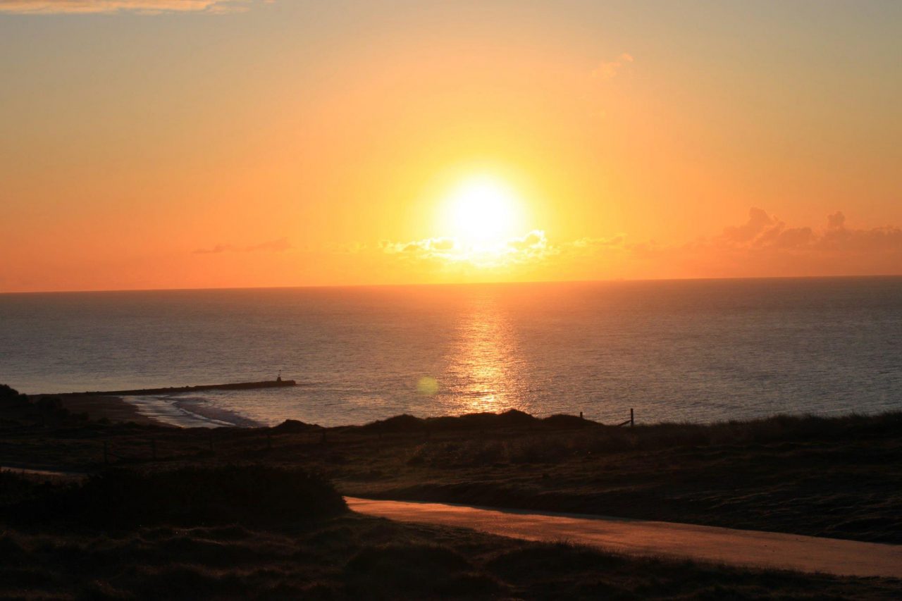
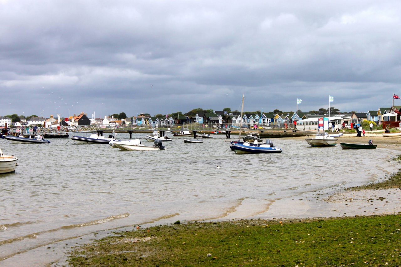
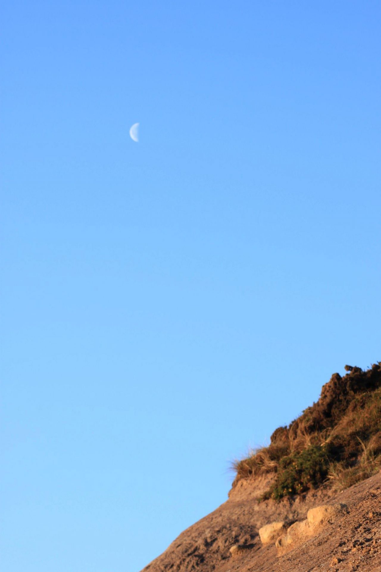
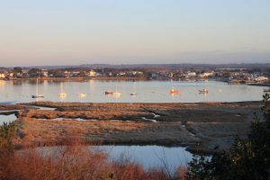
Once up top you can simply follow the wide tarmac path across the top of the headland enjoying views over The Channel, and across to The Needles on the Isle of Wight. This tends to be the route most walkers take, however there are other footpaths that take you down into rather unexpected wooded areas, so by meandering a little you can have a walk with the best of both worlds: clifftops and woodlands. You will likely 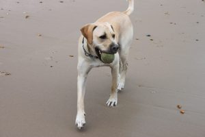 pass H.M. Coastguard radio relay station, which stoically clings to the headland braving whatever Mother Nature throws at it. As you reach the far end of the headland you will find yourself at the top of a flight of steps and you will be looking down the spine of Mudeford Spit, which is a magical little spot littered with approximately 300 colourful (and hugely expensive) beach huts. Mudeford Spit is a lovely place for a wander if you wish to extend your walk, but I am saving the spit for another blog, so keep your eyes peeled! As you stand at the steps you again have options: you can stay up top and wander back to the car using another of the footpaths, you can take the steps down and turn right so that you walk back along the sandy beach, or you can take the steps down and turn left, and walk along the water’s edge of Christchurch Harbour…this last option may depend upon the tide and whether your boots are waterproof!
As far as facilities are concerned the cafe is good and does a brisk trade in busy periods, and in 2014 Chris Packham opened the visitor centre making Hengistbury Head and great place for a family visit too.
You can easily walk Hengistbury Head in a hour or so, but I easily lose an entire morning here as I wander around taking photographs, or stand gawping at the view.