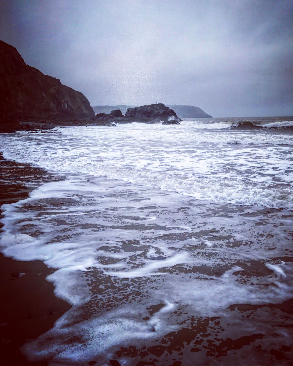
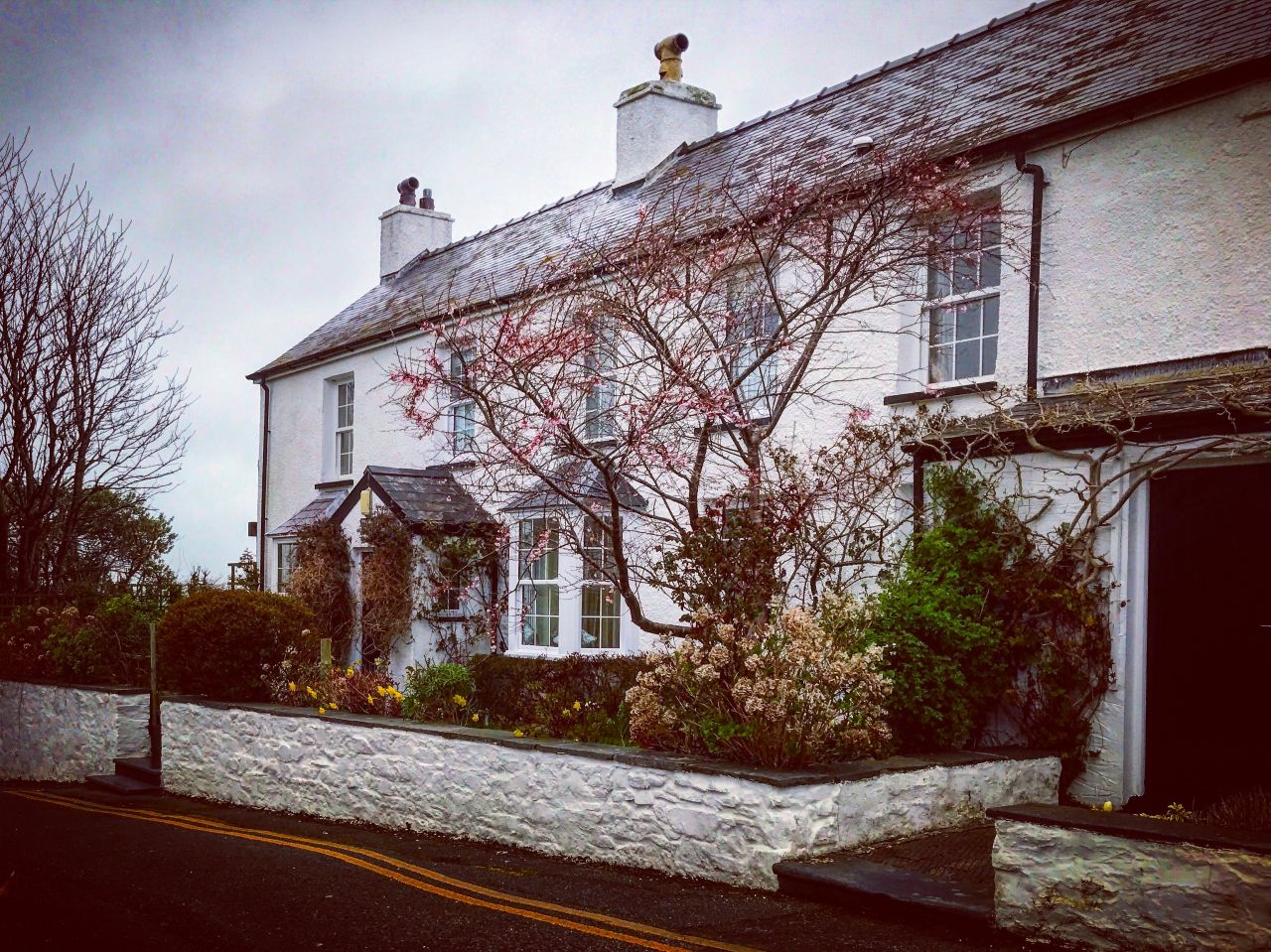
The Ceredigion Coast Path offers walkers 60 miles of unspoilt coastline, with excellent views across Cardigan Bay. Hoover and I enjoyed a dog walk along the Ceredigion Coast Path from Tresaith to Aberporth (map) and back one Sunday morning in March. Tresaith (map) is a pretty little coastal village.. It lies between Aberporth and Llangranog, and is linked to the former by a two-mile coastal path, part of the Ceredigion Coast Path. Tresaith has a sheltered Blue Flag and Seaside Award-winning sandy beach and there are rock pools to explore. The village has legendary origins, being the setting of the dramatic novel ‘The Welsh Witch’, and ‘Saith’ is the Welsh word for seven: according to legend, an ancient Irish king set his seven troublesome daughters adrift in a boat. Landing on the Ceredigion coast, they met and fell in love with seven local farmers and no doubt lived happily ever after… This gave birth to the name of their landing place: Tresaith, the Place of Seven. The village features a dramatic cliff top waterfall where the river Saith cascades down onto the golden sandy beach below.
Beachside facilities at Tresaith include a shop and café serving refreshments and ice creams. For diners wishing to take in the sea view, The Ship Inn, recommended to me by several locals, serves excellent food  and has plenty of tables outside on the sun terrace overlooking the beach. The public loos are located close to the beach and have wheelchair access and baby changing facilities. A small amount of parking is also available on the beach front, including a few spaces for disabled drivers.
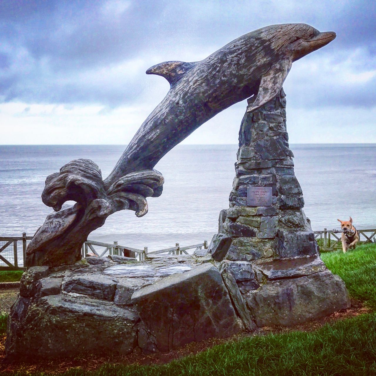
We parked in the small beach-side car park (street view) and headed onto the beach for a romp on the sand. After Hooves had had his fill we found the way up to the coast path, which is easy to see on the right-hand side of the beach (when facing land) and headed towards Aberporth. Once on the coast path it is easy to see which way to go as there is only one option. If you turn right at any point you’ll be over the cliff end and in the sea! The path offers spectacular cliff top views across Cardigan Bay and the opportunity to spot bottle-nosed dolphins and grey seals which frequent these waters in the summer months. The last section of this walk to Aberporth is recently improved path and so is wheelchair friendly and features a number of railway carriage holiday homes dotted along the landscape.
Aberporth (map) is a picturesque village situated just six miles north of Cardigan. The two sandy beaches sit between the rocky headlands of  Trecregyn and Fathgarreg and are separated by a smaller rocky outcrop. They have been awarded the European Blue Flag status. Low tide also provides the opportunity for exploration of the rock pools and when to tide goes right out the two beaches become one.
Aberporth offers an ideal base for walkers wishing to explore the Ceredigion Coast Path which stretches southwards to Cardigan and northwards to the beaches of Tresaith, Penbryn, Llangrannog, and New Quay.
Aberporth’s maritime history dates back to the 16th century when it became an active port for cargoes of salt, coal, and limestone. Up until the decline of fish stocks around the time of the First World War, Aberporth’s main fishing industry was based on daily catches of herring. Today fishing continues in Aberporth on a smaller scale, with lobster and crab being the catches of choice. Two small car parks can be found overlooking the north and south beaches, with further parking available in the village. The public conveniences are located just below the beachside car park and offer facilities for disabled visitors. Overlooking the northern beach in Aberporth you will find a beachside shop, café, and pub.
Hoover and I headed out on this walk early and so parking in Tresaith wasn’t a problem. However as parking is so much easier in Aberporth it may be worth reversing this walk and starting at Aberporth. This way you can head out at a more civilised time and use the prospect of lunch at The Ship Inn before you turn back as an incentive….